Serving Gogebic, Iron and Ontonagon Counties
Serving Gogebic, Iron and Ontonagon Counties
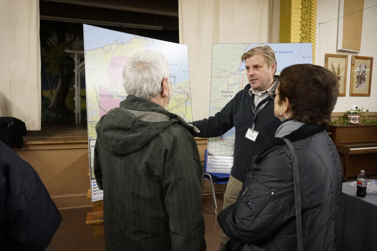
Joe Pinardi, left, chair of the Iron County Board of Supervisors, and Opal Roberts, supervisor, talk with Enbridge employee Rolf Lund during a community open house event on Thursday for the proposed Line 5 Wisconsin segment relation project at the Iron County Memorial Building in Hurley.
By TOM LAVENTURE
Hurley - Enbridge, Inc. held an open house Thursday to discuss the proposed route for the Line 5 Wisconsin Segment Relocation Project.
Enbridge, a multinational energy transportation company based in Calgary, submitted permit applications for a roughly 40-mile petroleum and liquid natural gas pipeline that would be constructed from existing Line 5 pipeline near the Ashland Municipal Airport to another section of existing Line 5 near Gurney. The new section is a re-route to replace a 12 mile segment that runs through the Bad River Band of Lake Superior Chippewa Reservation, which notified Enbridge in August that easement agreements with the company would be allowed to expire.
Negotiations with the Bad River Band are ongoing and the goal would be to keep the existing line, said Adam Erickson, manager of mainline services and major projects execution for Enbridge. But if the re-routing goes forward more than 80% of public and private easement agreements have been completed, with the work now focusing on road use agreements, he said.
"We believe that we've got a set of landowners there that we're working through those final steps with," Erickson said."
Joe Pinardi, chair of the Iron County Board, said the meeting reassured him that the project is going as expected. Enbridge and Iron County reached a $505,000 agreement for the county land easement and should the Bad River Band decide to allow the existing pipeline to remain the county still keeps the easement fee, as well as the private landowners who receive $10 per foot for easements.
Pinardi said he will leave the safety and engineering issues to the permitting process of the Wisconsin Department of Natural Resources.
"I have a lot of confidence in the DNR," Pinardi said. "If there is something that looks dangerous they won't allow it."
The Line 5 route flows eastward from Superior, Wisconsin through Michigan's Upper Peninsula and to Ontario, Canada. The line runs batch configuration rotations of crude oil and natural gas liquids.
Gregg Jennings, a biologist from the Washburn area, said he is against the pipeline project. The new line crosses hundreds of streams that feed into the Bad River watershed.
"If there is a break in the line all of that is going into the Bad River, which goes into the Kakagon Slough, which will destroy the rice beds," Jennings said. "And then, of course, Lake Superior, the largest freshwater lake in the world. I just don't think it's a good idea."
Erickson said Enbridge has one of the best safety records of all pipelines. The Line 5 will have remote operated valves with pressure sensors that close when there are pressure warnings. A cathodic protection helps prevent corrosion in the event there is exposure underneath a pipe coating.
Metal inspections start with the pipe manufacturer along with Enbridge inspectors, he said. There are several design standards and specifications regarding appropriate thickness and strength.
The manmade and robotic welds conducted in the field are also monitored, Erickson said. Each weld is given an ultrasonic test to spot any flaw in the weld.
"The industry standard is to check 10% of the welds," Erickson said. "We check 100% percent of the welds. As long as I have been with the company I have not seen us make a weld that has not been inspected."
There are pipeline maintenance crews based in Superior and in Ironwood. There are mechanical and electrical technicians at the Ino and Saxon pipeline stations.
"We are one of, if not the safest operators out there," Erickson said.
The crews will use dry cut methods to cross streams, he said. Temporary dams will be on either side of the dig area as water is moved through using flumes or pumps depending on the volume.
Larger bodies of water will involve horizontal directional drilling that drills below the waterway in an arc. Specialists design the radius and curvature of the section and the slightly thicker pipeline is pulled back through the cut.
Erickson conducted the aerial imagery mapping to produce data to analyze proposed routes before going into the field, he said. The light detection and ranging (LIDAR) laser technology provided accurate depiction of terrain.
"We had a three-dimensional model of the entire area that the pipeline will run through to be able to see where the dips and hills are to plan our construction process and to make it as easy and as quick as possible," Erickson said.
Sarah Ploetz, the senior environmental advisor for Enbridge, said the environmental permitting for the project was filed with the Wisconsin Department of Natural Resources. The DNR is preparing a website for public view of the application, and should respond in 30 days to indicate if the application needs more work or is moving forward to the public review.
"The application puts forward potential impacts for the proposed route and for three route alternatives," Ploetz said. "The state process requires environmental review to ensure the route best balances those natural resource impacts to landowners and a route that is constructable."
The application was also sent to the Army Corps of Engineers for review.
The Enbridge application included water body surveys and wetland delineations along with measuring impact to protected species and archeological resources, she said. A Native American firm was contracted to conduct a traditional cultural property survey, she said.
"As westerners we can't identify sites that are culturally significant to Native Americans," Ploetz said. So, it's really important to bring folks with that culture and that history and knowledge in to help us identify those."
The route alternatives that were proposed outside of the Bad River watershed were found to have the potential for significantly greater natural resource impacts, she said. The 110-mile re-route would include 29-miles of new greenfield, meaning no existing activity, and cross through 900 additional acres including the Chequamegon–Nicolet National Forest.
"There is often protected plant and animal species associated with a national forest," Ploetz said. "There was also potential for crossing the Namekagon River, which is a designated wild and scenic river administered by the National Park Service," she said.
All of this work is designed to protect the natural resources and the natural environment, said Juli Kellner, communications specialist with Enbridge. All of this works leads to choosing the route with the least impact.